South Fork Aerial Photo
Logging at South Fork. With the leaves on it does not show up to well but if you look close you can see the "patches".
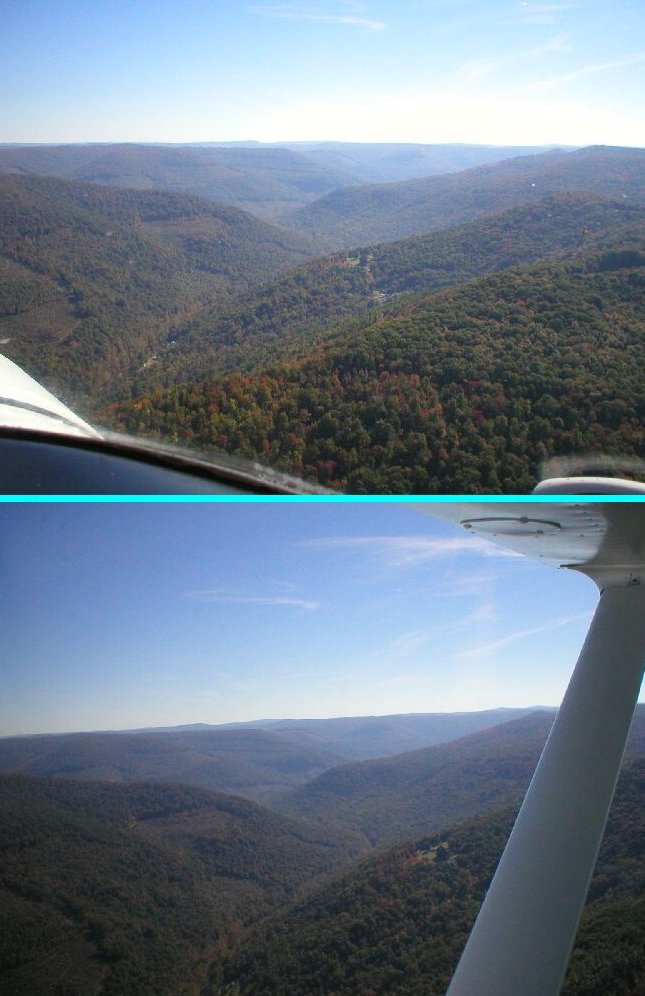
www.richwooders.com        Back  Next      Aerial Gallery!
Richwood Valley
Submitted by: Mike Tyler
Richwood West Virginia
(2006 Aerial Photography)

Where:                South Fork West Virginia.

                      When:                October 02, 2006 Photographer:         Mike Tyler Photo submitted by:   Mike Tyler

South Fork: Greenbrier, Nicholas, Pocahontas counties and The Monongahela National Forest.

www.richwooders.com

   |  Home  Aerial Photography, 2006  How to Link To Us Contact Pictorial Book New Photos (2005) WANTED |
 4 Seasons,Richwood Picture Book Postcards Nov. 19 2003 Flood Richwood Flood '54  Richwood Blizzard '93 Dain Grade School Fenwick Grade Sch. Little Laurel School Milltown Grade Sch. Richwood Grade School Southside Grade Sch Tannery Grade School Walnut St. Grade School Lodging Restaurants Richwood  Richwood WV Churches Directions - Richwood  Attractions near by Search Richwooders Airport Links ( to Other sites ) Ramps 1932 FloodWildlifeNancy HartCoal Mining Table of Contents
[ Billybob]